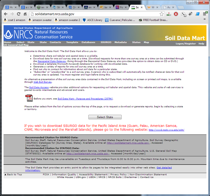
For the WARMF model, the soil data can be downloaded from the soil mart USDA website. The link to the website is http://soildatamart.nrcs.usda.gov/
After you load the website then it would allow you to choose the state. The figure is shown as follows:
After you load the website then it would allow you to choose the state. The figure is shown as follows:
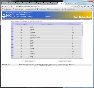
After that you would be allowed to choose the state as shown in the figure on the left. Find out the state you want to download the soil data.
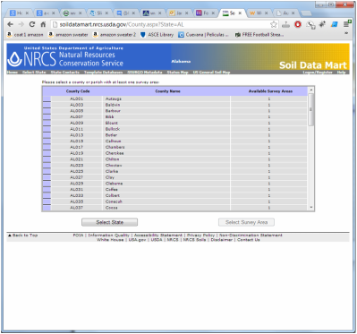
Then choose the county on the state you are using. You can always download the data from more than two counties. However, it would be easier and reasonable to use the soil data from one county. First you need to figure out which county covers the most area in your study region. Once figured out go a head and choose select survey area.
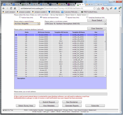
At last, you need to provide your email address to get the download link for the soil data. It will take about 5 minutes to process the data depending upon the queue of the data request. The data downloaded will have spatial data, tabular data and template file for the Microsoft access.
 RSS Feed
